
July 9, 2021 | Marykate Forte
George Thorlin redefines cartography.
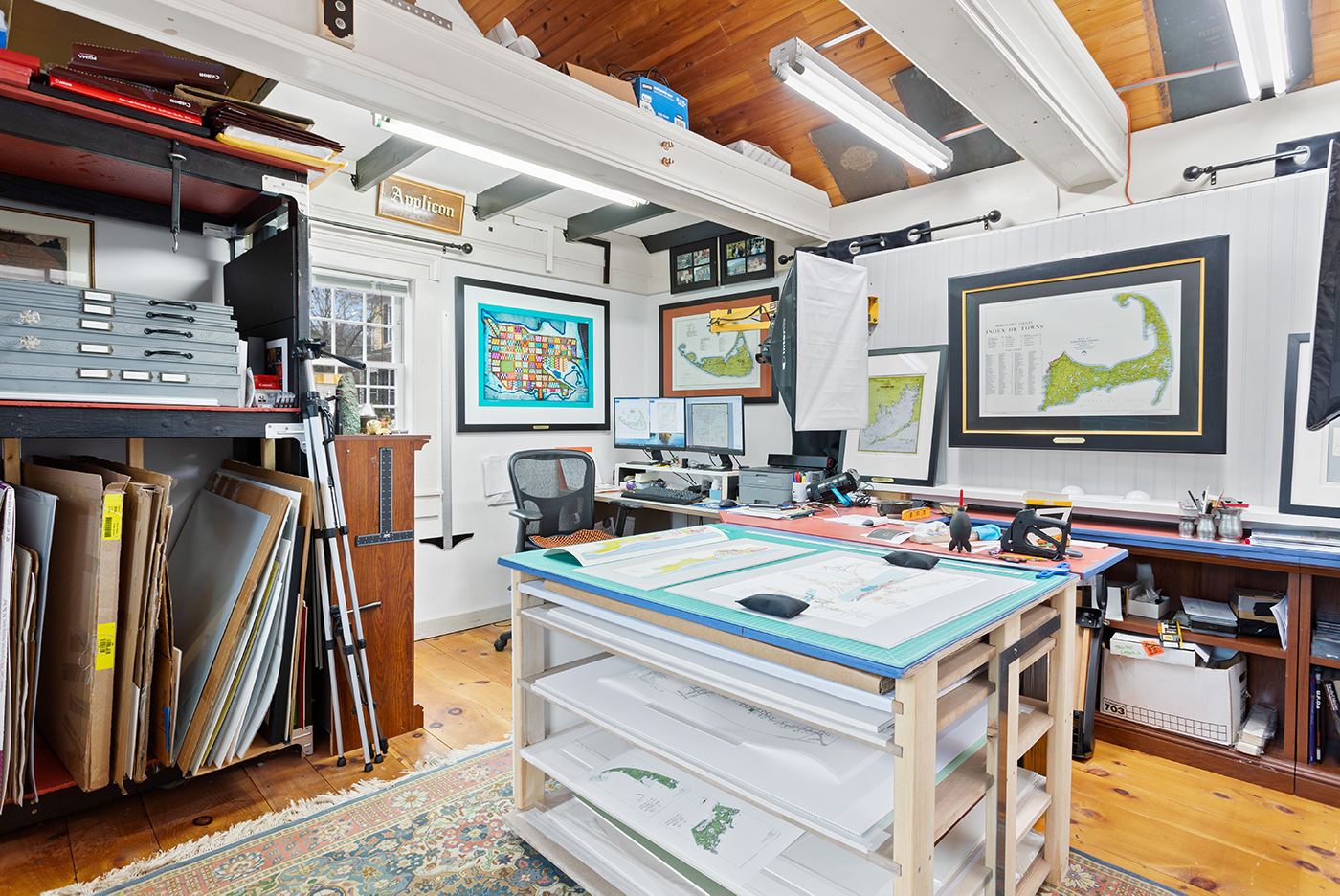
The owner of Historic Maps of New England, George Thorlin, does more than create maps.
His passion for cartography started in the early 1990s when he discovered an old map showing his own house that was built in 1791. He quickly became an avid collector and eager student of the history they contained. With his love of cartography, along with an extensive technology background, he began his extended journey to develop a new art form that would preserve these maps by creating a beautiful piece of fine art for display.
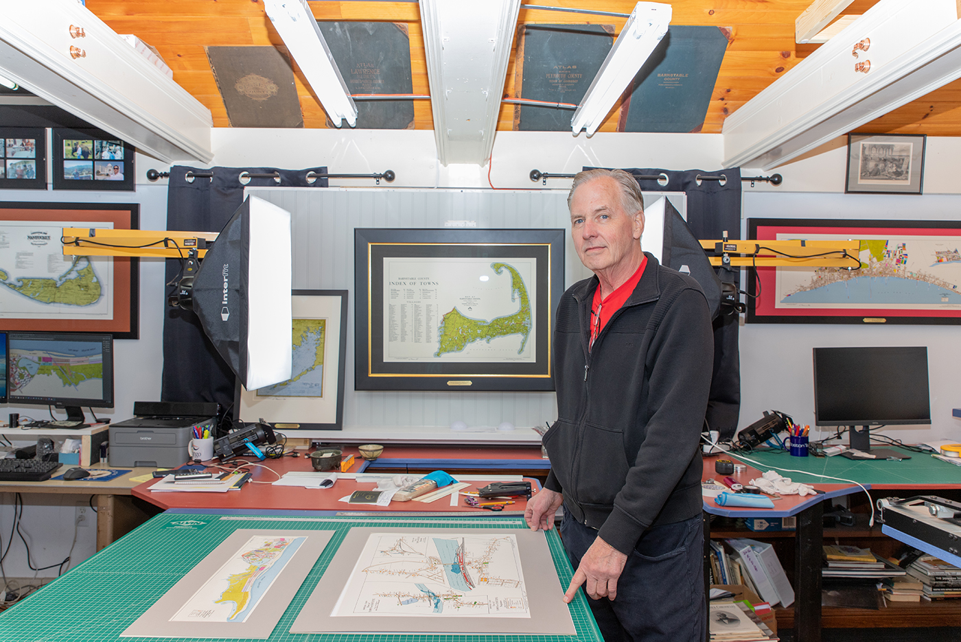
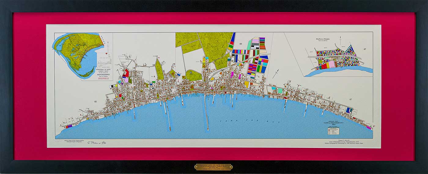
Thorlin’s maps are distinct from others because of a process he calls Enhanced Graphic Cartography. Since most vintage maps are faded, ripped or water damaged, Thorlin makes them visually appealing by digitally restoring and colorizing them. “From a historical perspective these maps can be very interesting and insightful, but visually they have lost much of their appeal given the ravages of time.”
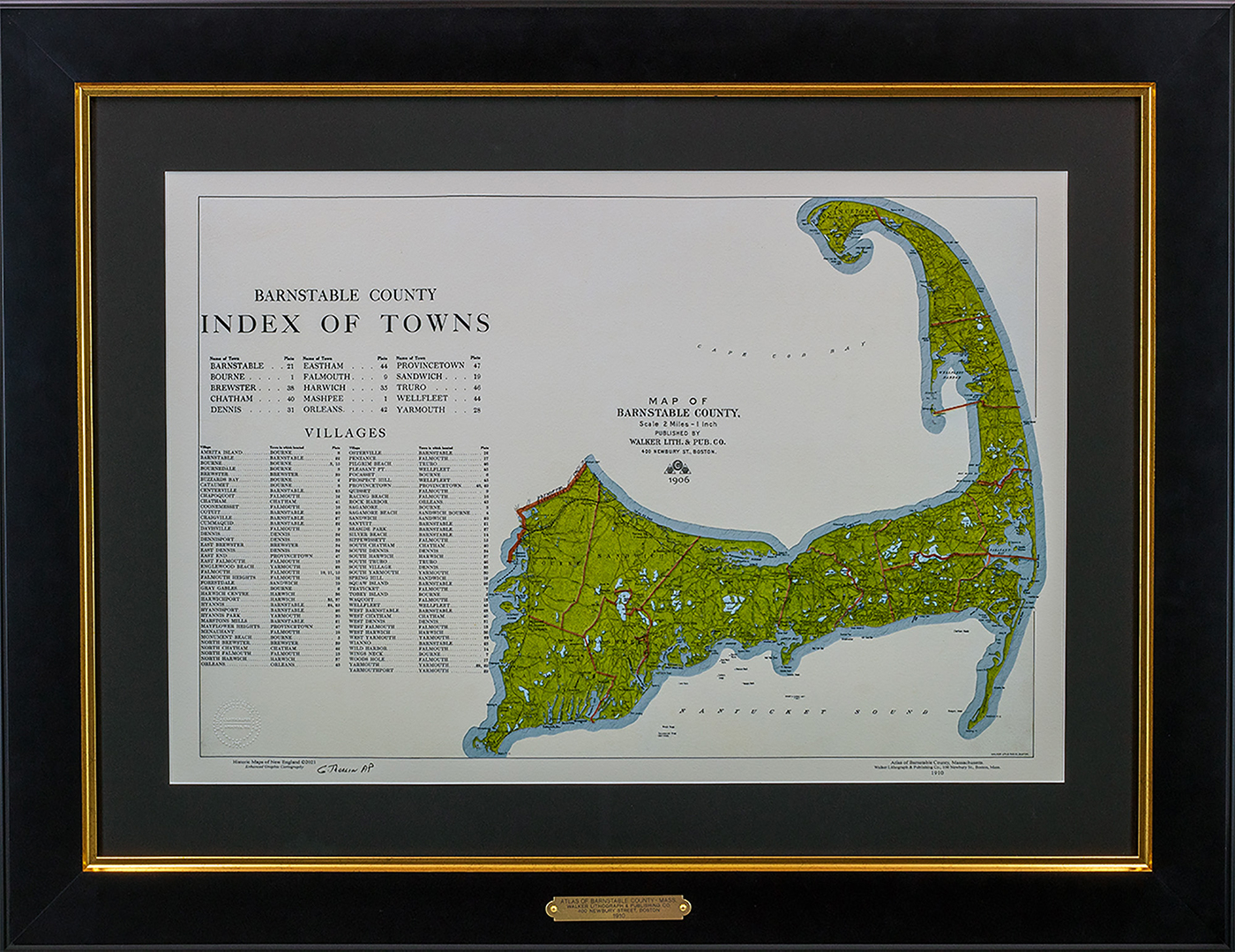
Historical Maps’ focuses on Genealogical Maps, also known as ward maps, and 19th Century Nautical Charts. They have an extensive collection of maps from coastal New England including Cape Cod & Islands, Newport, and the South and North Shore of Boston. The entire process of restoration, color enhancement and framing takes place in his studio in Andover, Massachusetts. Thorlin only uses 100% conservation framing techniques and uses museum quality acid free mats, glass and acrylic glazing, fine art papers, pigment inks and solid American hardwood frames.
“You can see the history all over his studio,” says Stacy Sawyer, senior design consultant at Historic Maps of New England. “It’s just George creating these, and the process is so personalized.”
For more information, visit www.HistoricMapsNE.com.
Add new comment